-


Follow Us

According to the National Oceanic and Atmospheric Administration (NOAA), La Niña may appear this winter, impacting weather and influencing where the most powder piles up for skiers.
Today, August 21, 2025, the federal agency issued new outlook maps that break the seasons down into three-month chunks and predict their temperature and precipitation in broad strokes.
The prospective La Niña, it seems, has influenced these forecasts. This is where it might be colder and hopefully snowier next winter, per NOAA’s outlook for December, January, and February, 2025/2026.
Want to keep up with the best stories and photos in skiing? Subscribe to the new Powder To The People newsletter for weekly updates.
December-January-February 25/26 Outlook
To those familiar with La Niña, this map and forecast won’t come as a surprise. The meteorological phenomenon begins with cold water off the coast of the Americas in the Pacific. That pushes the jet stream to the north, which, historically, leads to colder winters across the northern U.S.
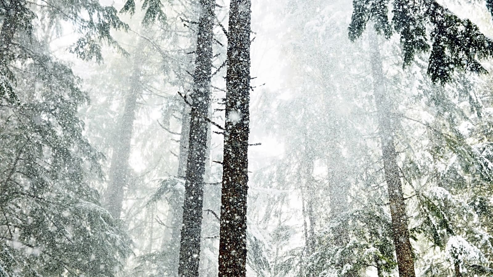
During La Niña, the Pacific Northwest also sits beneath a powder bullseye—that can sometimes be a boon to ski resorts like Crystal Mountain, Timberline Lodge, and Mt. Baker.
The December, January, and February outlook resembles but doesn’t exactly match La Niña’s pattern. Washington is predicted to see below-average temperatures. A blob of what could be above-average precipitation hovers above Montana, Idaho, and Wyoming, covering Big Sky and Jackson Hole.
February-March-April 2026 Outlook
By NOAA’s February, March, and April outlook, a more La Niña-esque rhythm sets in. In the north—from Washington to Minnesota—the odds tilt towards below-average temperatures. Meanwhile, in true La Niña fashion, above-average precipitation is the likeliest outcome in Washington, northern Idaho, and Western Montana.
Note the orange blobs over parts of Colorado and Utah throughout the winter. NOAA isn't forecasting high confidence in below-average snowfall and warmer temps for this region, but a small chance is currently on the radar. Stay tuned Colorado and Utah skiers.
How Do You Read NOAA’s Seasonal Outlooks?
These maps can be a source of confusion. For one, they don’t forecast storm events, actual temperatures, or actual precipitation amounts. Instead, when one outcome over a three-month period is the most probable—say, above-average temperatures—the map is shaded with a corresponding color. The darker the color, the greater the odds of an outcome. However, that shading doesn’t forecast a larger departure from normal in terms of temperatures or precipitation.
For instance, in NOAA’s February, March, and April temperature outlook map, the blue shaded area indicates that, across these areas, there is a 33% to 40% chance of below-average temperatures. In the white areas, there are equal chances of any of the three outcomes: below average, average, or above average.
Good enough for skier’s ecstasy or despair? Probably not. NOAA’s outlooks deal in generalities and monthlong trends. Snow conditions, in contrast, change daily and weekly. If you're chasing powder, don't lose sight of your favorite seven-day forecast.
How Likely Is a La Niña This Winter?
On August 14, NOAA issued a La Niña Watch. In the announcement, the federal agency shared a chart with a month-by-month breakdown of how likely La Niña is. That likelihood peaks around 60% in October, November, and December. Then, those odds decline as the winter progresses.
More must-reads:
- Vikings upgrade backup for starting QB J.J. McCarthy with latest moves
- Injury setbacks may force Arsenal deeper into the transfer market
- The '2024-25 NFL rushing touchdown leaders' quiz
Breaking News
Trending News


Customize Your Newsletter
 +
+
Get the latest news and rumors, customized to your favorite sports and teams. Emailed daily. Always free!

PRIVACY POLICY EDITORIAL POLICY CONTACT US
ABOUT YARDBARKER TERMS OF SERVICE
Use of this website (including any and all parts and
components) constitutes your acceptance of these
Terms of Service and Privacy Policy.
This site is for entertainment purposes only.
There is no gambling offered on this site.
Gambling Problem? Call 1-800-Gambler.