-


Follow Us

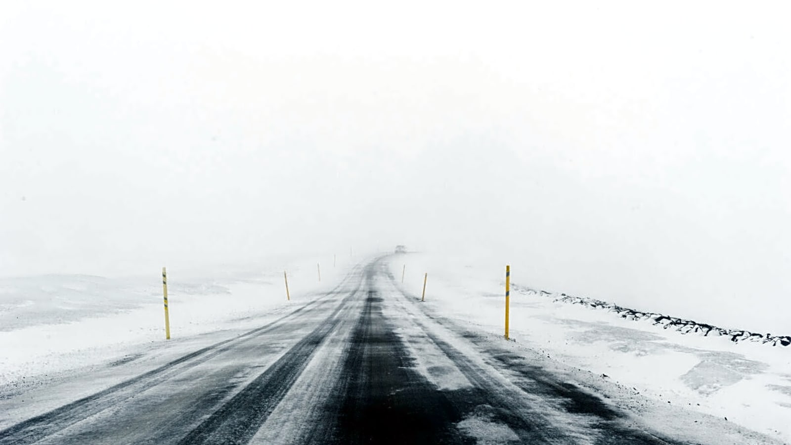
Beloved Colorado meteorologist Chris Tomer has finally released his predictions for the 2025-26 winter. No one is counting down the days til ski season more than we are, so let's dive right in and see just what this weather wizard has to say.
Tomer also starts his forecast with a reminder that winter weather forecasts involve a lot of variables, and it's impossible to say exactly what will happen.
See Tomer's forecast below.
Officially, according to Tomer, we're in a La Niña watch, or basically, meteorologists like Tomer are watching for colder waters in the Pacific Ocean.
As of now, things are looking pretty neutral, but most of the data points to some kind of La Niña appearance. Last winter, which was also a La Niña winter, the water was -0.6 degrees Celsius, whereas right now, data shows that the water is trending between 0.0 and -0.5 degrees Celsius cooler.
Some patterns also have it trending even colder for some short periods of time, which could lead to an even stronger La Niña pattern.
Also, similarly to last winter, a dual jet stream has the possibility to bring atmospheric rivers. Right now, that pattern could benefit the Pacific Northwest in particular, especially during October and November.
Later in December, Tomer says it could shift further south towards the Sierra. Overall, this pattern creates a northwest flow which is known to deliver snow to the Rockies, parts of Utah, and parts of Wyoming.
What Ski Resorts Could See the Most Snow?
Taking into account data from several North American and European models, Tomer predicts that due to a predominant polar jet stream, the following ski areas will see the most consistent precipitation:
- Whistler Blackcomb, British Columbia
- Stevens Pass, Washington
- Mt. Baker, Washington
- Crystal Mountain, Washington
- Schweitzer, Idaho
- Brundage, Idaho
- Sun Valley, Idaho
- Grand Targhee, Wyoming
- Jackson Hole, Wyoming
- Powder Mountain, Utah
- Snowbasin Utah
Places below that jet stream, like much of Oregon, central Utah, Colorado's front range, northern Montana, and Alberta, should all see fairly normal precipitation. Tomer also notes that if the Tahoe area gets a strong December showing from that initial La Niña, it could set them up for average or slightly above precipitation.
Unfortunately, it looks like southern California (Mammoth, Big Bear) and more southern parts of Utah (Brian Head), Colorado (Wolf Creek, Purgatory), and New Mexico (Taos, Ski Santa Fe, Angel Fire) could see below-average snowfall.
Tomer notes that "above average" could mean 1% more or 20% more snowfall—he's not sure just how much of an impact that polar jet stream really will have. Areas that he's expecting "normal" snowfall that border the "above normal" jet stream might still benefit and are just too close to call, or really will just see an average snow year.
In the northeast, Tomer is expecting 90% of resorts to have fairly average snow years. However, Jay Peak, Stowe, and Sugarloaf could benefit from this winter for above-average precipitation, but it's not looking like any will have below-average.
Personally, I'm hoping that the polar jet stream comes a little further south than Tomer is predicting and gives Mt. Bachelor some love.
If it's anything like last winter—like he's saying—that early-season La Niña could stand to really benefit Mt. Bachelor and the Mt. Hood area resorts.
But, like Tomer noted at the beginning, there are no certainties in long-range winter weather forecasting, so we'll just have to drink some Ullr and wait and see.
More must-reads:
- Virginia Tech head coach candidates ranked from least to most likely
- Revisiting the 'best case scenario' for each MLB team
- The 'FBS animal teams' quiz
Breaking News
Trending News


Customize Your Newsletter
 +
+
Get the latest news and rumors, customized to your favorite sports and teams. Emailed daily. Always free!

PRIVACY POLICY EDITORIAL POLICY CONTACT US
ABOUT YARDBARKER TERMS OF SERVICE
Use of this website (including any and all parts and
components) constitutes your acceptance of these
Terms of Service and Privacy Policy.
This site is for entertainment purposes only.
There is no gambling offered on this site.
Gambling Problem? Call 1-800-Gambler.